Offline Maps
Download entire regions before your trip. Access maps, routes, and terrain data without cell service.
The free alternative to FATMAP. Offline maps, slope angle shading, and ski touring guides—everything you need in the mountains.
Download entire regions before your trip. Access maps, routes, and terrain data without cell service.
Visualize avalanche terrain with color-coded slope angles. Make informed decisions in the backcountry.
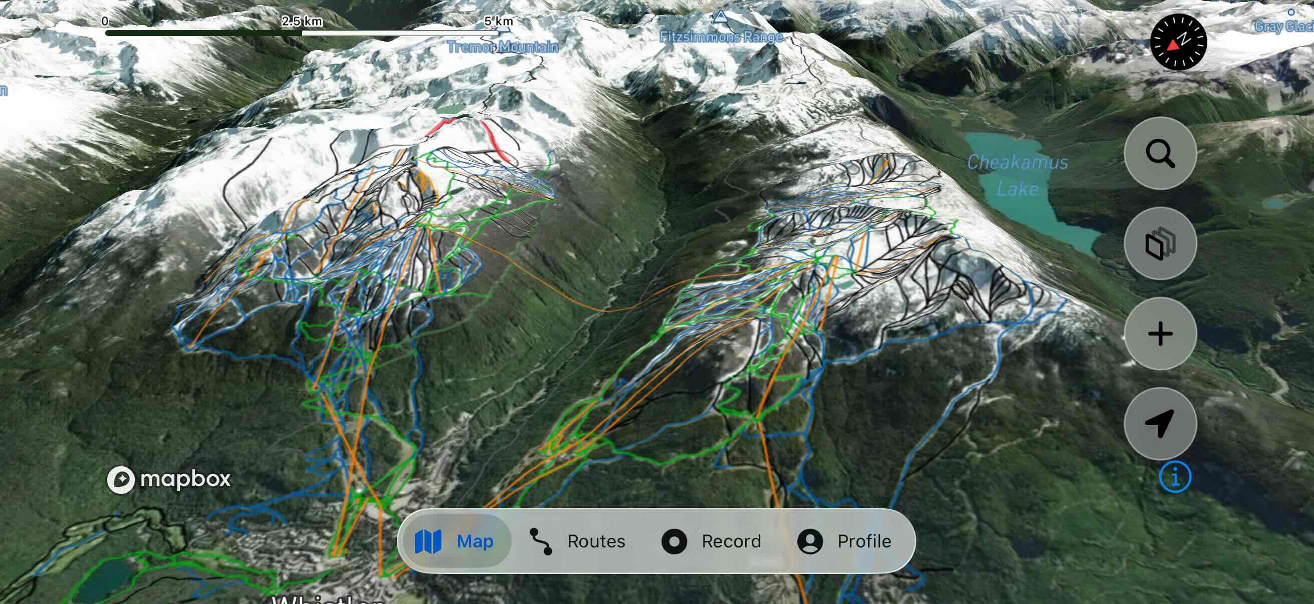
Switch between satellite, terrain, and topographic views. Overlay slope angle and ski area boundaries.
Discover ski touring routes and backcountry zones. Community-contributed guides with detailed info.
Import and export routes in GPX format. Compatible with Garmin, Suunto, and other devices.
No subscription needed to access key features.
Everything you loved about FATMAP, back again.
Start planning your next adventure.